
 These
county and county - equivalent data are based on tests of tissue samples from
dead and diseased wild birds,provided by state health officials. Many of these
data represent crows, which are especially sensitive to West NileVirus (WNV).
Note that the map includes all areas of positive (confirmed or probable) WNV
results, but notnecessarily all areas with submitted samples or no reports.
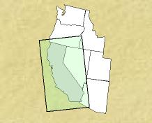
These
county and county - equivalent data are based on tests of tissue samples from
dead and diseased wild birds,provided by state health officials. Many of these
data represent crows, which are especially sensitive to West NileVirus (WNV).
Note that the map includes all areas of positive (confirmed or probable) WNV
results, but notnecessarily all areas with submitted samples or no reports.

| Cumulative Report Maps for the year 2002, California | |||
|---|---|---|---|
| Cumulative Human | Cumulative Veterinary | Cumulative Mosquito | Cumulative Sentinel Flock |
California Department of Health